Earlier, Wider, Longer: How Technology Is Changing Wildfire Response
UpdatesAugust 05, 2026



From AI-assisted cameras to responsive satellites and autonomous aircraft.
New technologies are helping responders detect fires earlier, track them more closely, and extend the window for action.
Wildland fire response is a race for time. The sooner a fire is detected, confirmed, mapped, and reached, the more options responders have. Until recently, every stage of that sequence depended heavily on whether information reached the right people fast enough and whether conditions allowed them to act. Those constraints are beginning to loosen as new technology closes the gaps between an ignition and detection, detection and a reliable operating picture, and action on the ground or in the air.
Each technology addresses a different part of the sequence, but they share a common purpose: more time, better information, and greater capacity to act. A fire discovered early is a different problem than one that’s had time to spread, though terrain, fuels, and weather will always shape the outcome. The clearest signs of progress may be the way these systems begin to work together, building a faster and more persistent response from first detection onward.
Detecting smoke before the first call
In a lot of wildfire-prone terrain, a fire can burn for a meaningful stretch before anyone sees it, and confirming a report often still means sending someone, sometimes an aircraft, out to check. Pano AI’s systems have been deployed in 17 U.S. states as well as other countries, while California’s ALERTCalifornia network includes roughly 1,240 AI-enabled cameras. As reported by the Associated Press, Neal Driscoll, the UC San Diego geophysicist who founded ALERTCalifornia said, that in some cases, “The AI that’s being run on the cameras is actually beating 911 calls.”
Extending awareness beyond the camera
Camera networks only see what they're pointed at, and much of the country's wildfire-prone land has no camera, tower, or spotter anywhere near it.
Purpose-built satellite constellations are beginning to extend coverage into those areas. The first three operational FireSat satellites reached orbit in July 2026, with a goal of revisiting any location globally within an hour by 2029 and, once the full constellation is operating in the early 2030s, provide updates every 20 minutes or less. Earth Fire Alliance says the system is designed to detect fires as small as five by five meters. Those numbers describe targets for a constellation still being built, not current capability, but they mark a shift toward frequent imagery built specifically for wildfire response.
Keeping watch after detection
Coverage isn't only a matter of geography. Even a satellite that spots a fire typically only revisits that patch of ground on a fixed schedule, which can leave a fast-moving fire unwatched for hours at a stretch, exactly when ground and air crews most need an accurate picture.
Researchers at West Virginia University have developed an AI framework intended to reduce that gap. Rather than keeping satellites on a predetermined observation schedule, the system can interpret fire imagery, coordinate observations across multiple satellites, and automatically recommend new schedules and positions as a fire moves. The work remains a research framework, but it points toward satellite networks that do more than detect an ignition: they adapt their observations as conditions change.
Extending the aerial operating window
A separate constraint affects nearly every stage of aerial response: visibility. Conventional aerial operations can be curtailed when darkness, smoke, or other conditions prevent pilots from maintaining a clear view of terrain and nearby aircraft. Simply asking human crews to fly for more hours does not solve that problem, and can introduce additional risk.
NASA and its federal partners are testing airspace-management technologies designed to support remotely piloted aircraft during nighttime and low visibility operations. NASA describes the goal as giving responders aircraft that can eventually help monitor and fight fires during hours when conventional aerial operations may be limited.
Taken individually, each of these is a narrow technical improvement. Taken together, they represent the same underlying shift: technology is extending the reach of the people responsible for wildfire response, helping them detect fires sooner, maintain a clearer operating picture, and use aviation across more of the day.
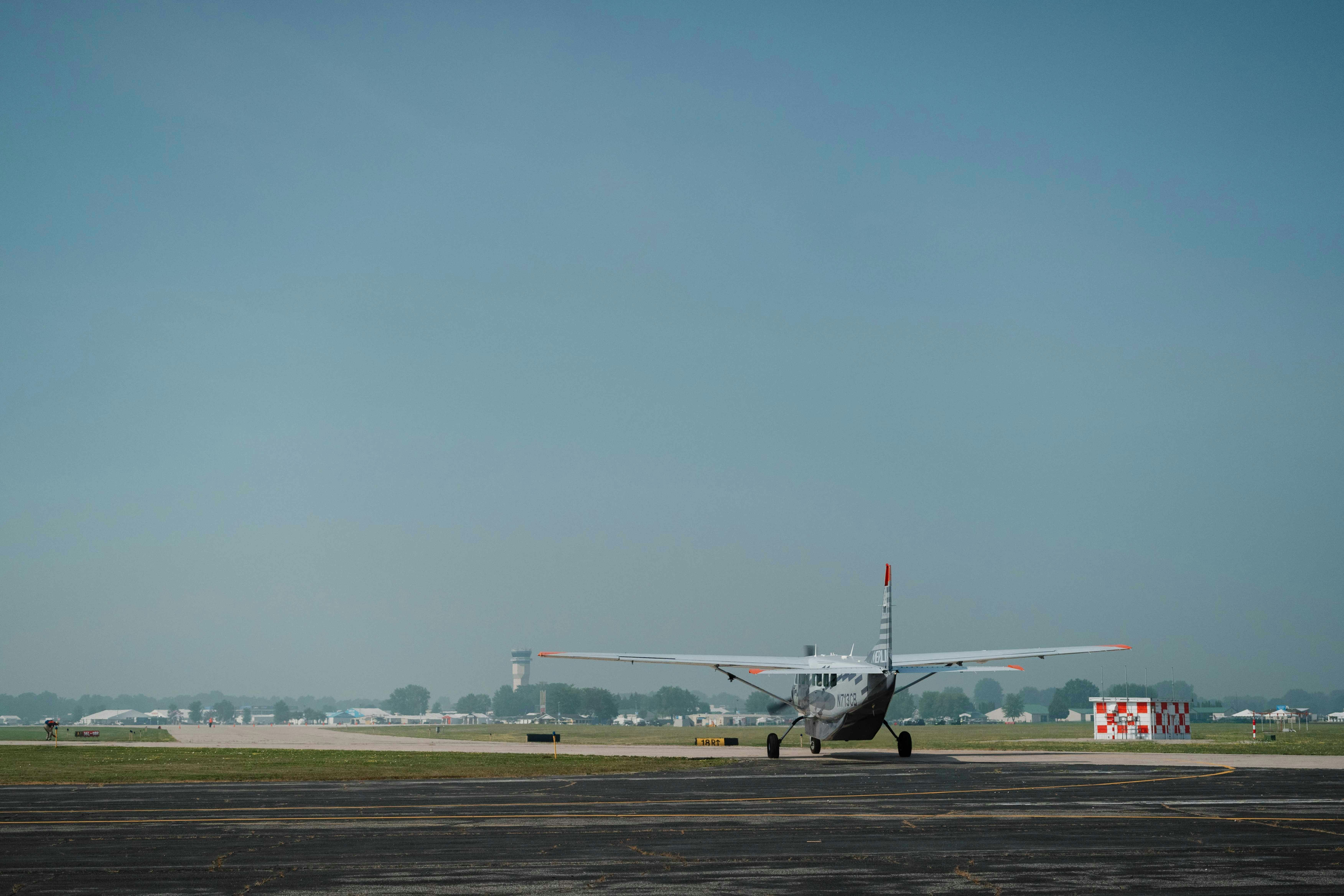
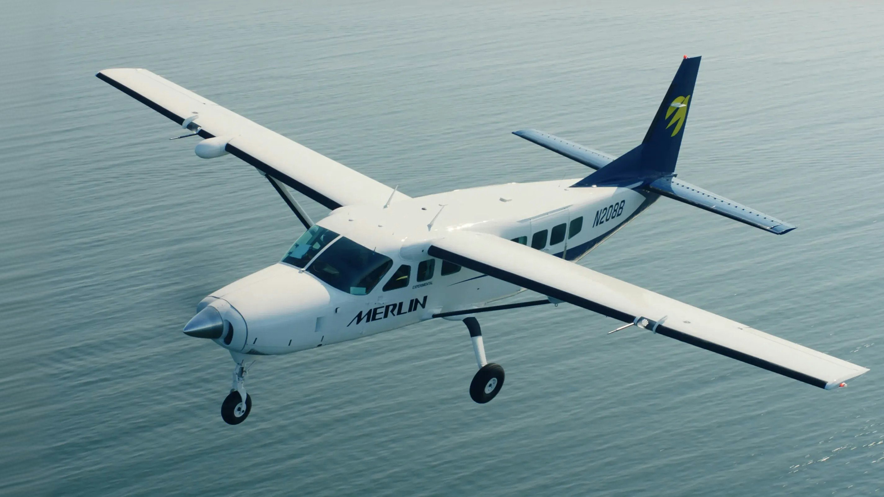
At Merlin, that same idea, extending what existing aircraft and crews can do, is being built into the aircraft, not operated from a remote station on the ground. The Merlin Pilot is a single, aircraft agnostic system that is being designed to work alongside pilots in real time to extend crew capabilities and scale operations beyond the limits of the traditional model.
Wildfire response is just one lens on that broader potential; the same push toward more time, better information, and greater capacity is playing out across cameras, satellites, airspace management, and aircraft alike. Every part of the response inherits whatever time and capacity is gained or lost upstream, which is why a fire caught earlier, tracked more closely, or reached in hours that used to be off-limits can change everything that follows. That's a meaningful shift on its own, independent of anything happening in any particular fire season.
Cautionary Statement Regarding Forward-Looking Statements
This post contains forward-looking statements within the meaning of the Private Securities Litigation Reform Act of 1995. Actual results may differ materially from those anticipated, and readers are cautioned not to place undue reliance on such statements, which speak only as of the date of this post and are subject to the risks and uncertainties described under “Risk Factors” in our filings with the Securities and Exchange Commission, including our Prospectus dated May 13, 2026, and our Quarterly Report on Form 10-Q filed May 15, 2026.
Related